About
Los Alerces National Park is located along the border of Argentina and Chile, about two-thirds the way down. The park covers an area of 723.47 square miles (1,873.78 sq km), creating the 4th or 5th largest national park depending on the area attributed to the national park.
The alerces trees serve as the foundation of the national park and one of the leading attractions. The alerce forest extends over 18,300 acres (7,407 ha) of the park. These trees serve as the park’s namesake.
The Los Alerces National Reserve is an additional protected area adding 275.84 square miles (714.42 sq km), which combine to create a protected area covering 1,003 square miles (2,599 sq km). There are some who ascribe the entire area to the national park.
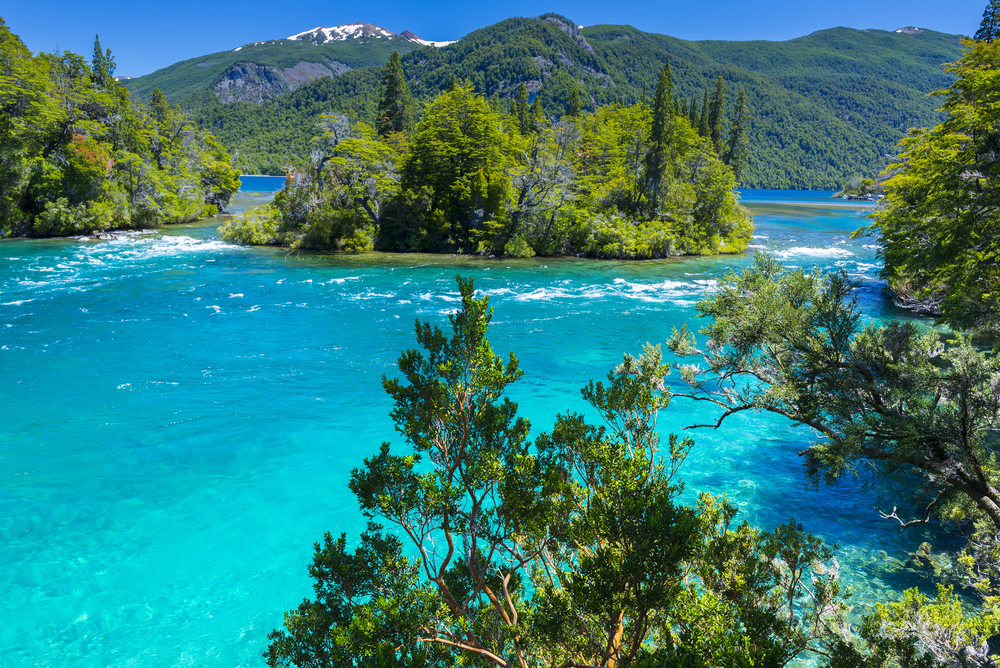
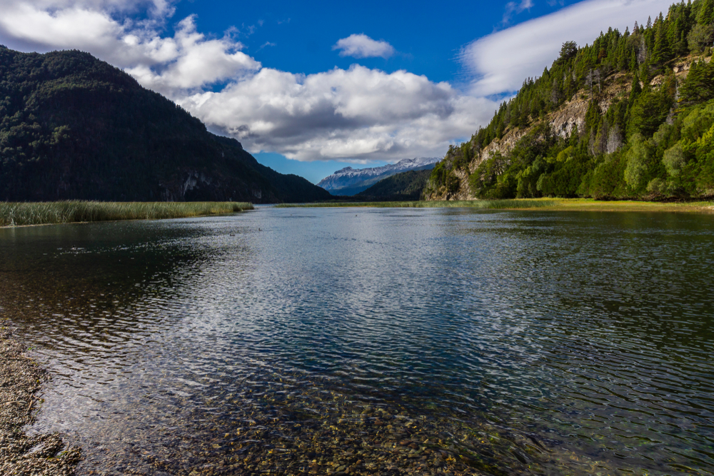
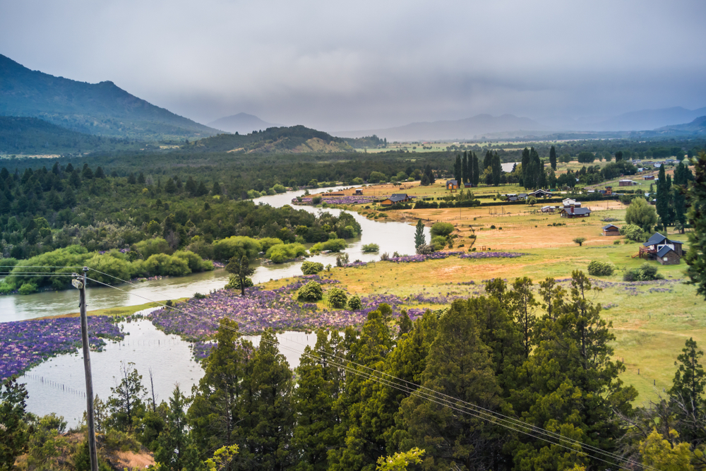
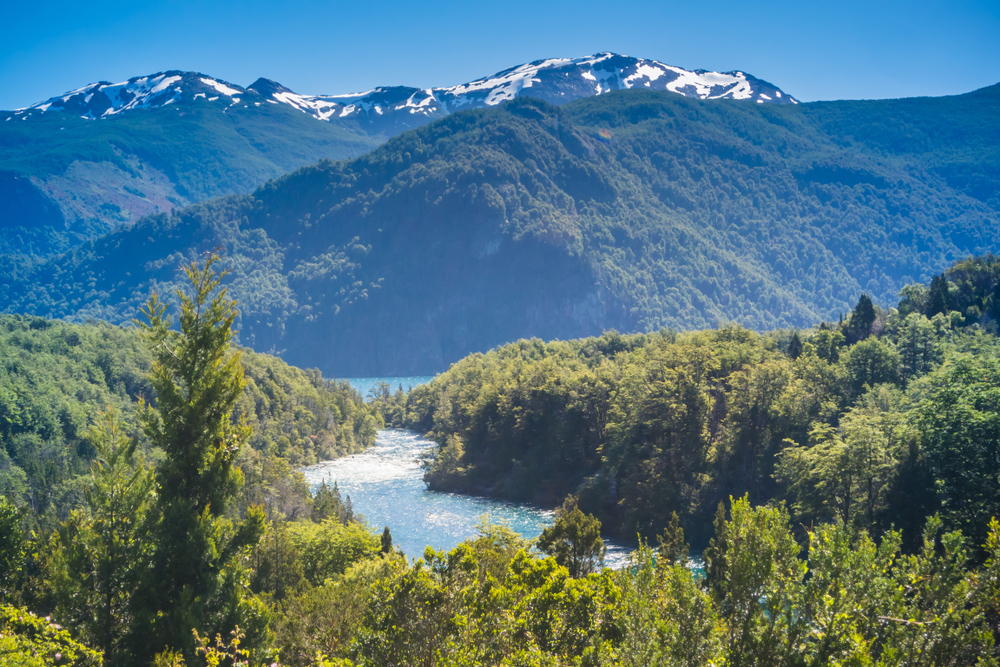
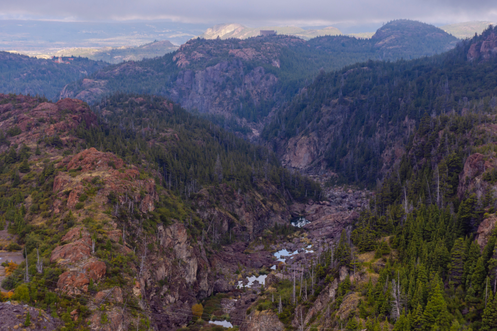
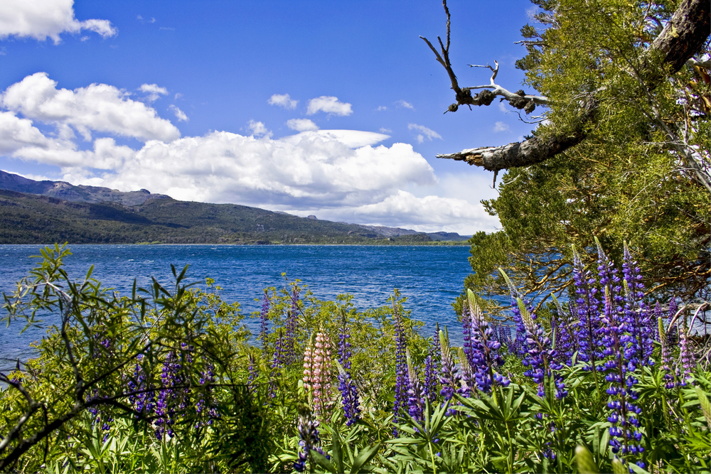
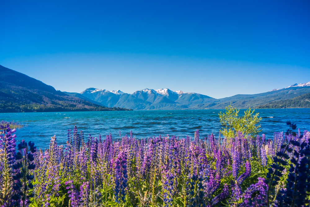
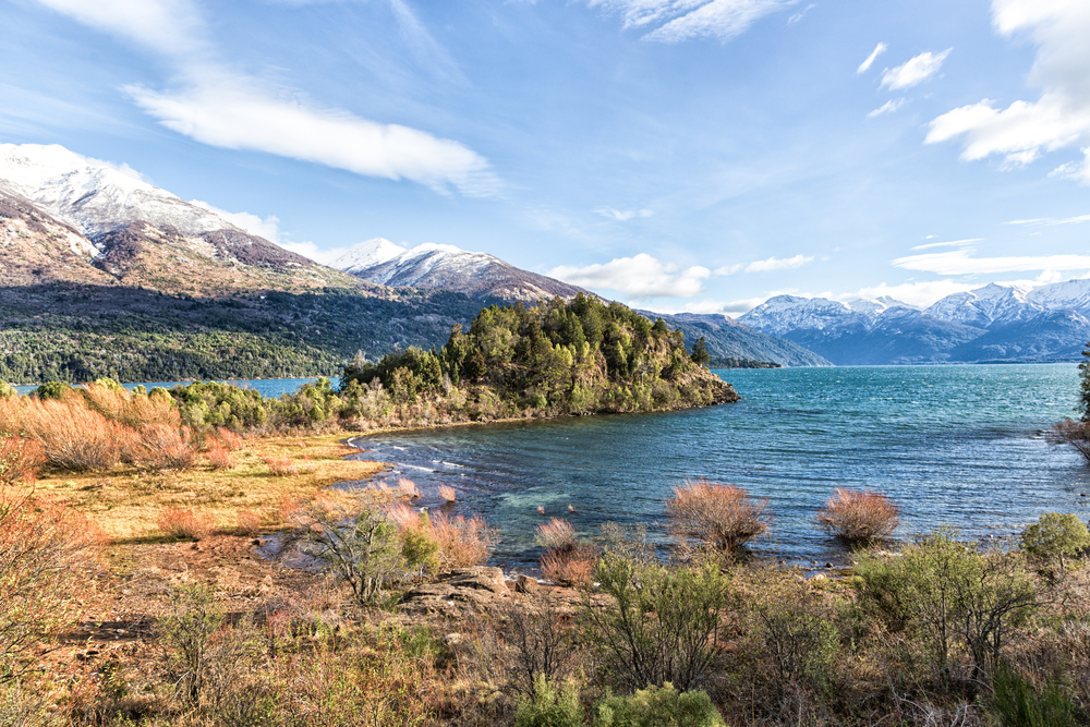
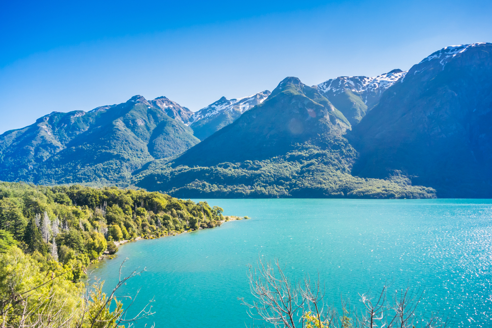
The park landscapes are mountainously characterized by moraines, beautiful blue lakes, glacial cirques, alpine meadows, temperate forests, and the renowned alerce forests. There are several lakes and rivers scattered across the astounding terrain.
The elevation varies from 1,080 feet (330 m) at the Futaleufu along the border up to the summit of Cordon de las Piramides at 8,010 feet (2,440 m). The varied elevations, diverse vegetation, and forests, combined with the rivers and lakes, create striking picturesque landscapes throughout the park.
Photos


Things to See
Los Alerces National Park Trails
The national park is an excellent place to hike and explore the remarkable wilderness. Hiking is one of only two ways to reach Lake Menendez.

Park Protection
Los Alerces National Park was created to protect a special species of alerce trees known as luhuan. The park protects the most extensive forest of alerce trees in Argentina. The area has been declared a UNESCO World Heritage Site.
The Patagonian alerce forest is one of the most pristine forests in the country. The government and park services have done a tremendous job protecting the area, which features an array of endemic and threatened species of both wildlife and vegetation.
Parts of the alerce forests are even in restricted areas, further protecting that natural and pristine state for future generations. The tree species are globally threatened, so all efforts need to be made to invest and protect the forests of Los Alerces.
Sources
- All Trails, Best Trails In Los Alerces National Park, https://www.alltrails.com/parks/argentina/chubut/parque-nacional-los-alerces, retrieved October 2020.
- Britannica, Los Alerces National Park, https://www.britannica.com/place/Los-Alerces-National-Park, retrieved October 2020.
- LAC Geo, Los Alerces National Park, https://lacgeo.com/alerces-national-park-argentina, retrieved October 2020.
- Patagonia Argentina, Los Alerces N.P., https://www.patagonia-argentina.com/en/los-alerces-national-park/, retrieved October 2020.
- Planeta, Los Alerces National Park, https://www.planeta.com/los-alerces/, retrieved October 2020.
- Tierras Patagonicas, Los Alerces National Park, http://www.tierraspatagonicas.com/en/los-alerces-national-park/, retrieved October 2020.
- UNESCO, Los Alerces National Park, https://whc.unesco.org/en/list/1526/, retrieved October 2020.
- Welcome Argentina, Los Alerces National Park, https://www.welcomeargentina.com/esquel/los-alerces-national-park.html, retrieved October 2020.