About
Gorkhi-Terelj National Park is located in the northern central part of of Mongolia not far from the border. The national park covers an area of 1,127 square miles (2,920 sq km). Although it extends across such a large area, it is only the 14th largest national park in Mongolia.
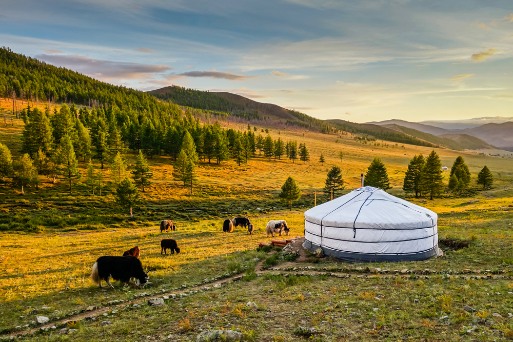
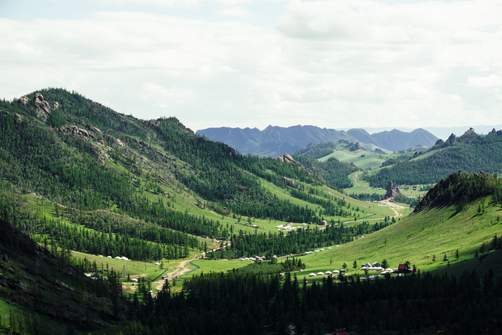
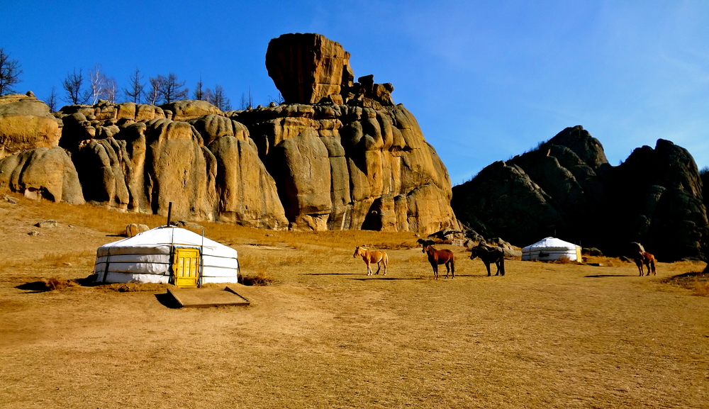
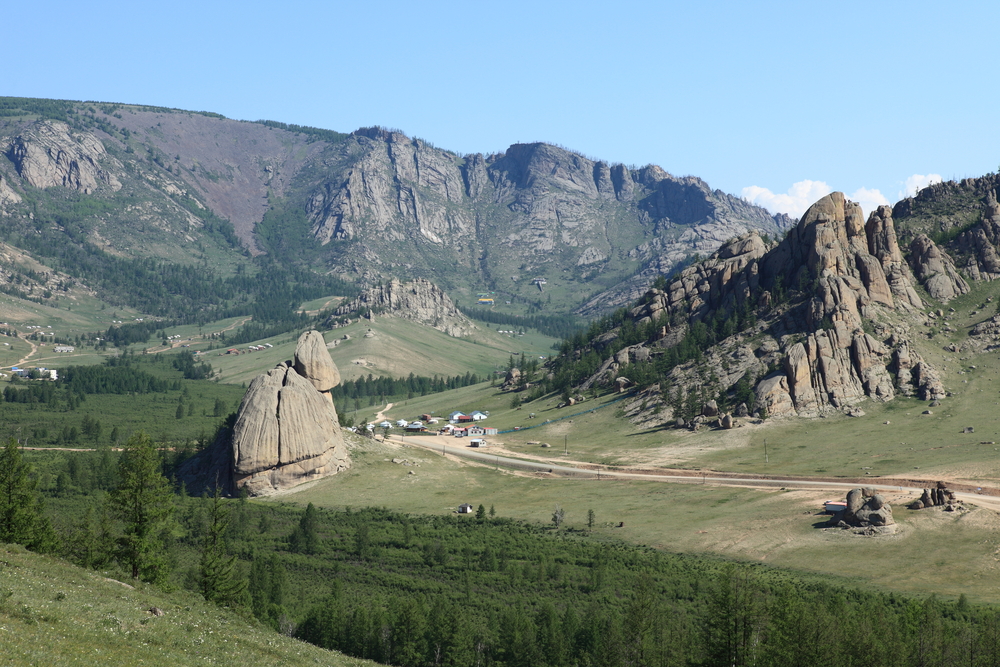
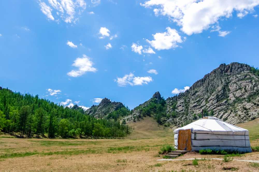
The Terelj River flows across the park, which much of the protected zone located to the north of the river. The Terelj settlement is located along the river and this region provides visitors with opportunities to shop and dine. This tourist area also provides opportunities to rent horses or camels for doing a more adventureous exploration of the area.
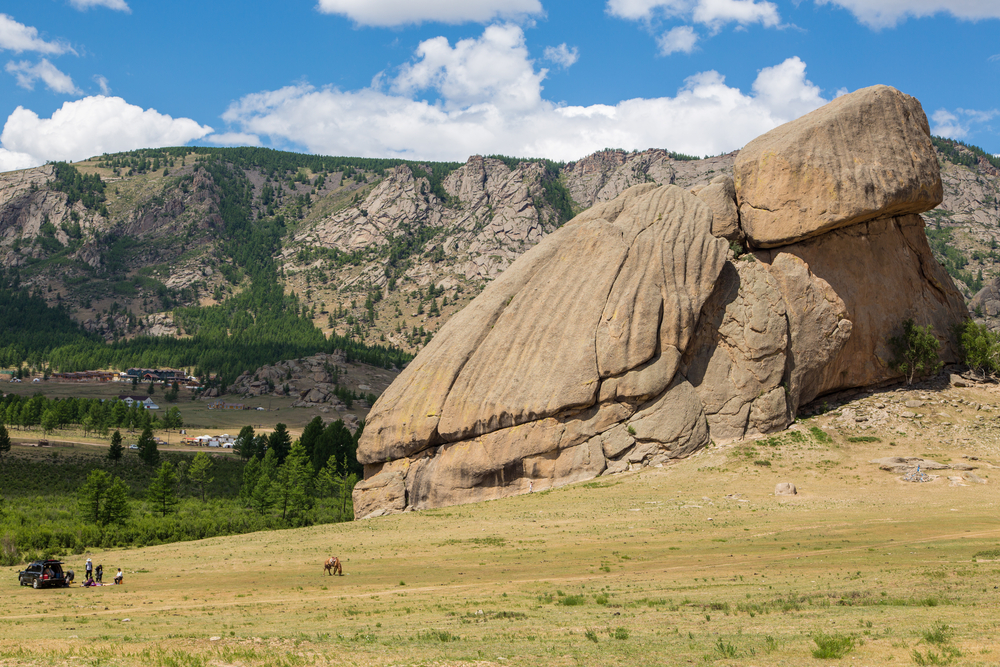
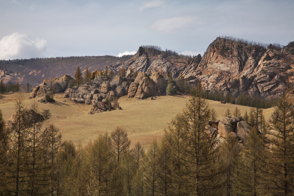
Some of the attractions are challenging to experience because of their remoteness and the lack of park development. The park sits at an average altitude of 5,249 feet (1,600 m), with Avkhan Mountain serving as the highest point at 8,740 feet (2,664 m).
The forested park is home to an abundance of wildlife with some of the most popular including brown bear, boar, red deer, roe deer, foxes, and wolves. There are several types of predator bird species as well.
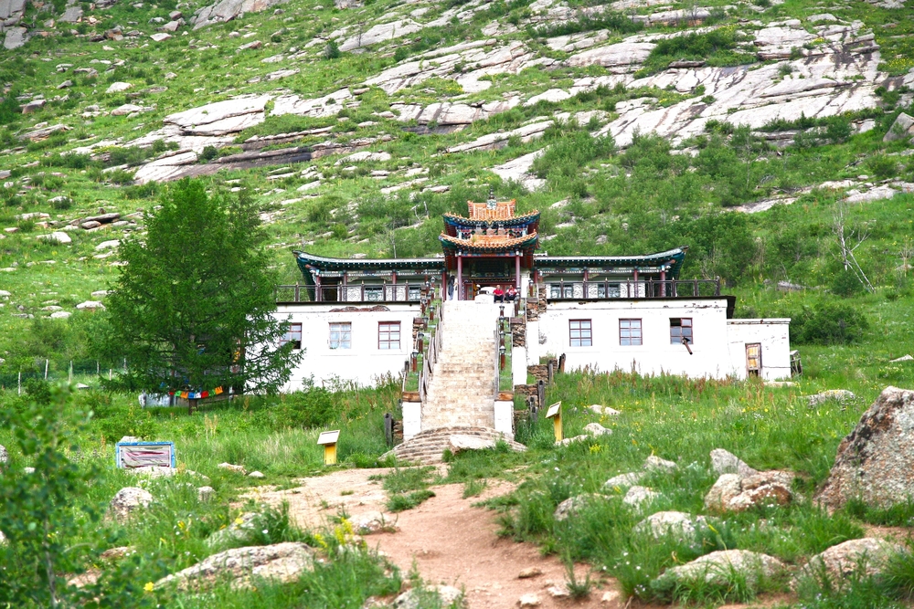
The national park also provides cultural and historical experiences with the Ariyabal Meditation Temple which was constructed between 1998 and 2004. The design follows the shape of an elephant with the 108 staircase leading to the temple representing the elephant’s trunk.
Photos


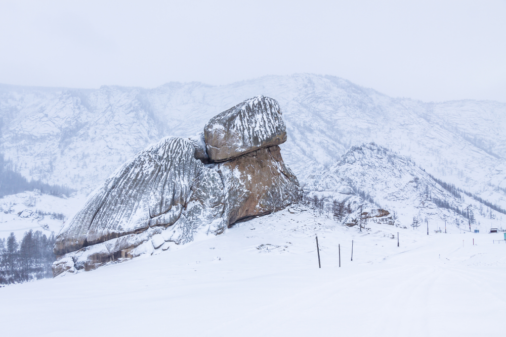
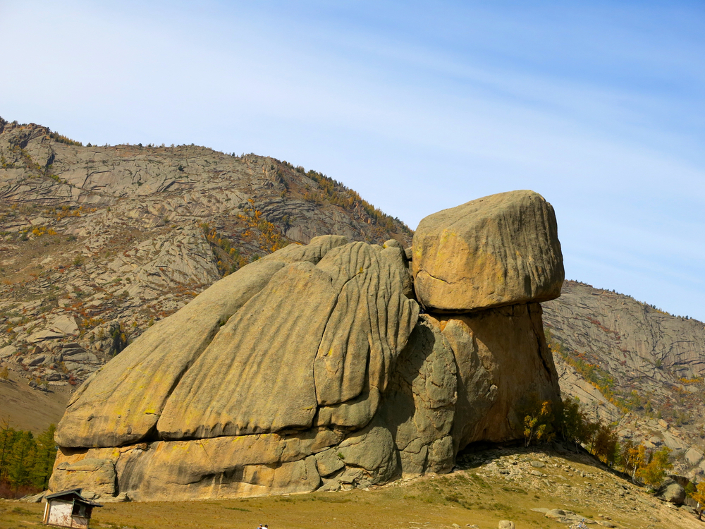
Things to See
Things To Do
The Terelj settlement is a developed tourist area that provides visitors with a chance to shop and eat at the local restaurants.


Park Protection
Gorkhi Terelj National Park was created to preserve the pristine wilderness as a wonderful escape into nature for locals. The park was further created to protect the habitat of the deer, bear, and other species that live in the area.
FAQ’s
What is Gorkhi-Terelj National Park known for?
Gorkhi-Terelj National Park in Mongolia is known for its stunning natural landscapes, including vast grasslands, rugged mountains, and pristine rivers.
Apart from pandas, the park is home to a diverse range of wildlife, including endangered species such as the Siberian ibex and argali sheep.
Visitors can explore the park’s scenic beauty through activities such as hiking, horseback riding, and camping, immersing themselves in the tranquility of Mongolia’s wilderness.
When is the best time to visit Gorkhi-Terelj National Park?
The best time to visit Gorkhi-Terelj National Park is during the summer months, from June to August. Average temperatures during this time range from 60°F to 80°F (15°C to 27°C) during the day, providing comfortable conditions for outdoor activities.
Additionally, the summer season offers longer daylight hours and lush green landscapes, making it ideal for hiking, camping, and exploring the park’s natural attractions. Visitors can also enjoy cultural experiences and traditional Mongolian festivals during this time, adding to the overall appeal of Gorkhi-Terelj National Park.
Sources
- Ayan Travel Adventures, Top 10 Things to do in Gorkhi Terelj National Park, https://www.toursmongolia.com/mongolia_travel_news/top-10-things-to-do-in-gorkhi-terelj-national-park, retrieved October 2021.
- Discover Mongolia, 4 Reasons you should visit Korkhi-Terelj National Park , https://www.discovermongolia.mn/blogs/when-in-mongolia-4-reasons-why-you-should-visit-gorkhi-terelj-national-park, retrieved October 2021.
- Lonely Planet, Gorkhi-Terelj National Park, https://www.lonelyplanet.com/mongolia/central-mongolia/terelj-area/attractions/gorkhi-terelj-national-park/a/poi-sig/1477499/357024, retrieved October 2021.
- The Outbound, 7 Ways to Explore Mongolia’s Terelj National Park, https://www.theoutbound.com/rachel-davidson/7-ways-to-explore-mongolia-s-terelj-national-park, retrieved October 2021.
- View Mongolia, Gorkhi Terelj National Park, https://www.viewmongolia.com/gorkhi-terelj-national-park.html, retrieved October 2021.