About
El Cajas National Park is located in the southwestern part of Ecuador on the mountain range’s western side. The park covers an area of 110.2 square miles (285.4 sq km).
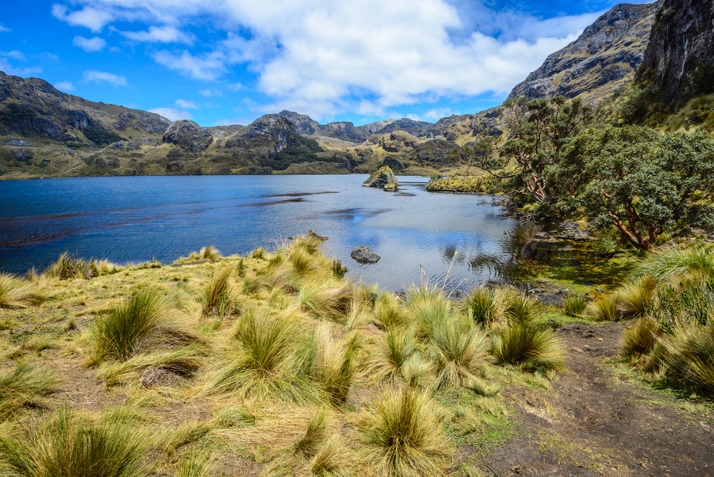
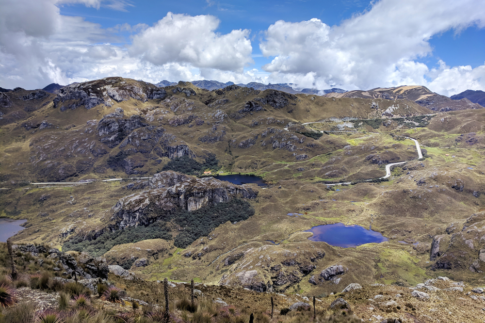
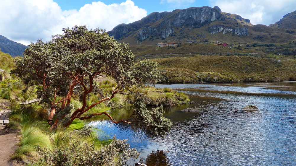
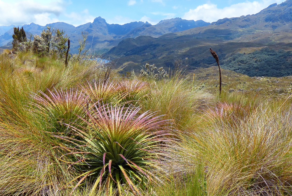
The park is well known for its rugged terrain that features landscapes characterized by valleys nestled in between jagged mountains and hills. The park is located at altitudes over 10,170 feet (3,100 m), resulting in tundra vegetation that blankets the area.
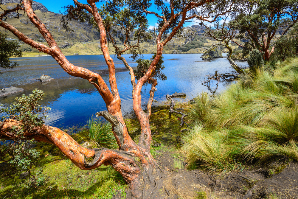
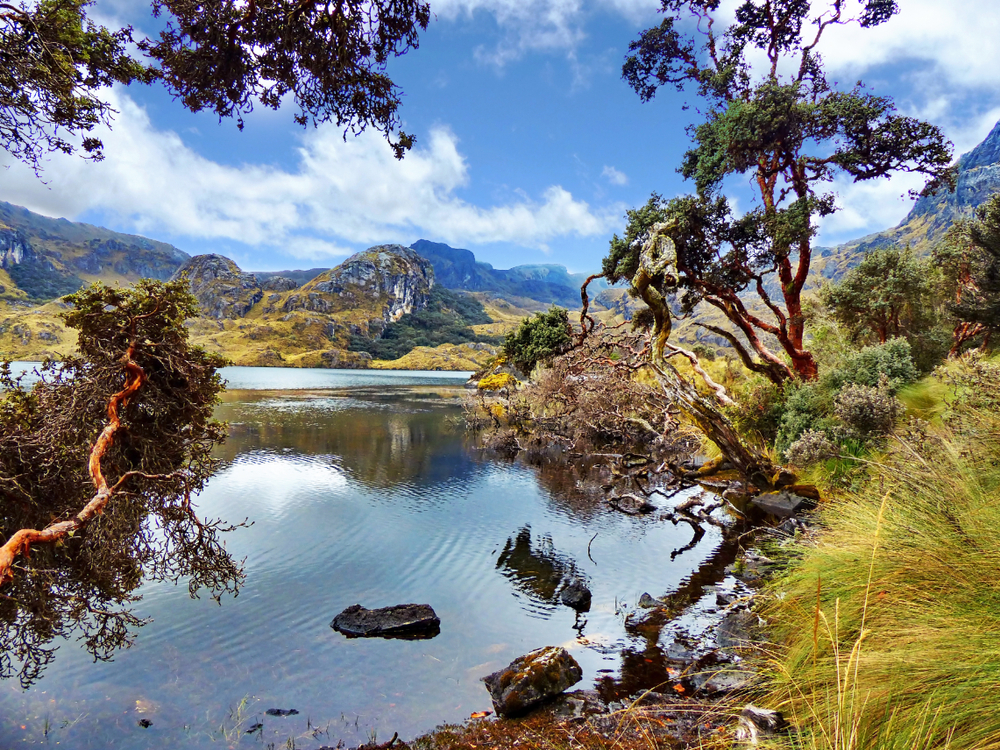
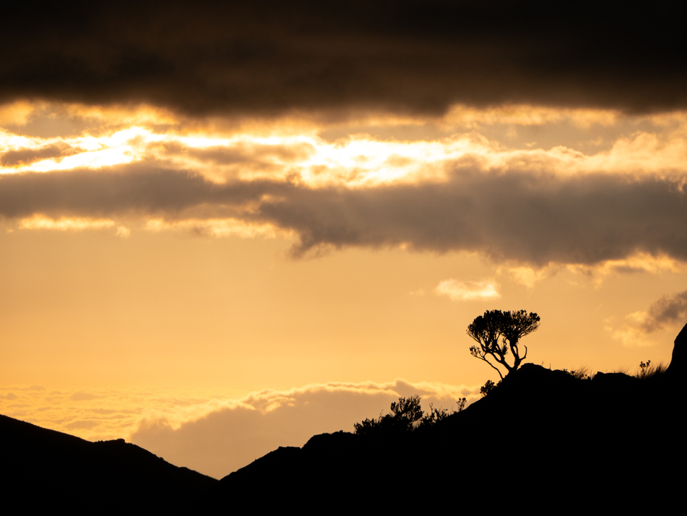
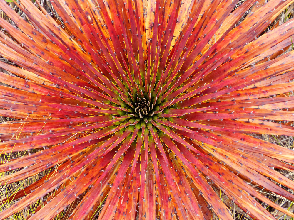
Tundra vegetation is the predominant flora species; however, there is a presence of cloud forests and perennial high mountain forests that follow the rivers in the lower elevations. The Polylepis tree, also called Paper Tree, is an evergreen featuring short stubby leaves is one of the flora species the park is known for.
Lakes and lagoons are scattered throughout the park borders, making them common encounters for visitors exploring the national park. Luspa is a glacial lake, and it is the largest of the nearly 700 bodies of water spread out amongst the valleys.
The park extends across the continental divide, which means two rivers flow west toward the Pacific Ocean and two flowing east toward and into the Amazon River. The combined habitats give way to a variety of wildlife species.
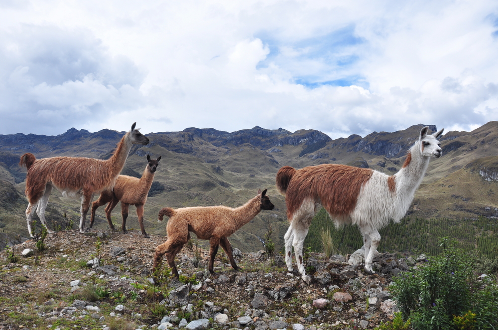
The cougar or puma is the most exciting sighting, but that can be challenging. Other popular wildlife species include mountain wolf, fox, skunk, deer, weasel, llama, coati, porcupine, paca, and shrew. The park is also renowned for being home to endangered endemic bird species as well.
The South American Condor and the Curiquinga are two large raptors that are vulnerable to extinction from Ecuador. The giant hummingbird is another hopeful sighting amongst the bird species.
Photos

Things to See
El Cajas National Park Trails
Hiking in the park is the most popular activity and the best way to engage the incredible rugged wilderness. It is high elevation hiking, so be prepared, and the vulnerable tundra vegetation requires that you stay on the paths. Please note, some trails require guides.

Park Protection
El Cajas National Park was created to protect pristine tundra wilderness and surrounding vegetation and habitats of the area. A key focus of the park is protecting the terrain, which is home to the endemic and endangered South American condor and the Curiquinga.
The curiquinga is a large black and white raptor that, along with the South American condor, is vulnerable to extinction from Ecuador. Because of these vulnerabilities, the area is also recognized as a Ramsar Wetland of International Importance and an Important Bird Area.
Sources
- Backpacker South America, Cajas National Park, Ecuador, https://southamericabackpacker.com/cajas-national-park-ecuador/, retrieved October 2020.
- Goats on the Road, Hiking El Cajas National Park: Ecuador’s Undiscovered Gem, https://www.goatsontheroad.com/cajas-national-park-ecuador/, retrieved October 2020.
- Happy Gringo, 3 Big Reasons to Visit Cajas National Park, https://www.happygringo.com/blog/cajas-national-park/, retrieved October 2020.
- LAC Geo, El Cajas National Park, https://lacgeo.com/cajas-national-park-ecuador, retrieved October 2020.
- Moon, Ecuador’s El Cajas National Park, https://www.moon.com/travel/outdoors/ecuadors-el-cajas-national-park/, retrieved October 2020.
- WeLeaf, Hiking in Cajas National Park, https://weleaf.nl/en/hiking-cajas-national-park/, retrieved October 2020.