About

New Forest National Park is located in the southernmost part of central England.  The national park encompasses an area of 219 square miles (566 sq km).  It is a great escape for London locals as well as visitors passing through the city.

The protected area is incredibly special to England because it represents the largest contiguous tract of natural pasture, heath, and forest in the southern part of the country.  Access is fairly easy making it one of the most popular national parks in the country.

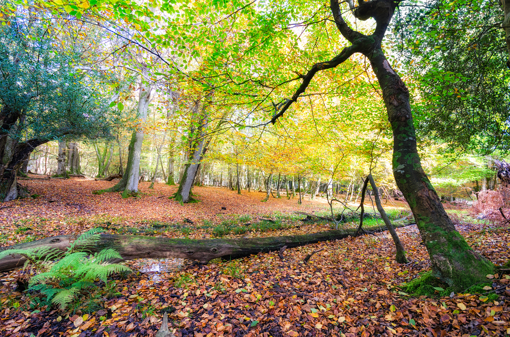
Of the 219 square miles (566 sq km) of protected land, the broadleaved woodland accounts for the largest portion taking up 56 square miles (146 sq km).  The remaining diversified area can be accounted for in this breakdown:

  • Heath and grassland 46 square miles (118 sq km)
  • Wet heath 13 square miles (33 sq km)
  • Tree plantations 32 square miles (84 sq km)

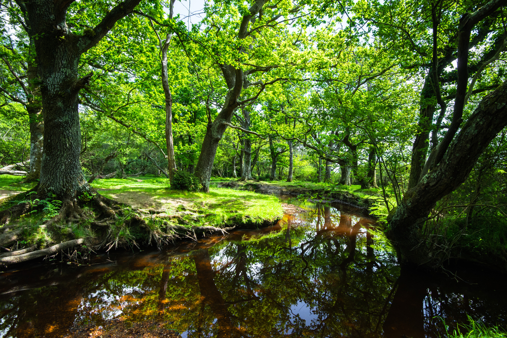
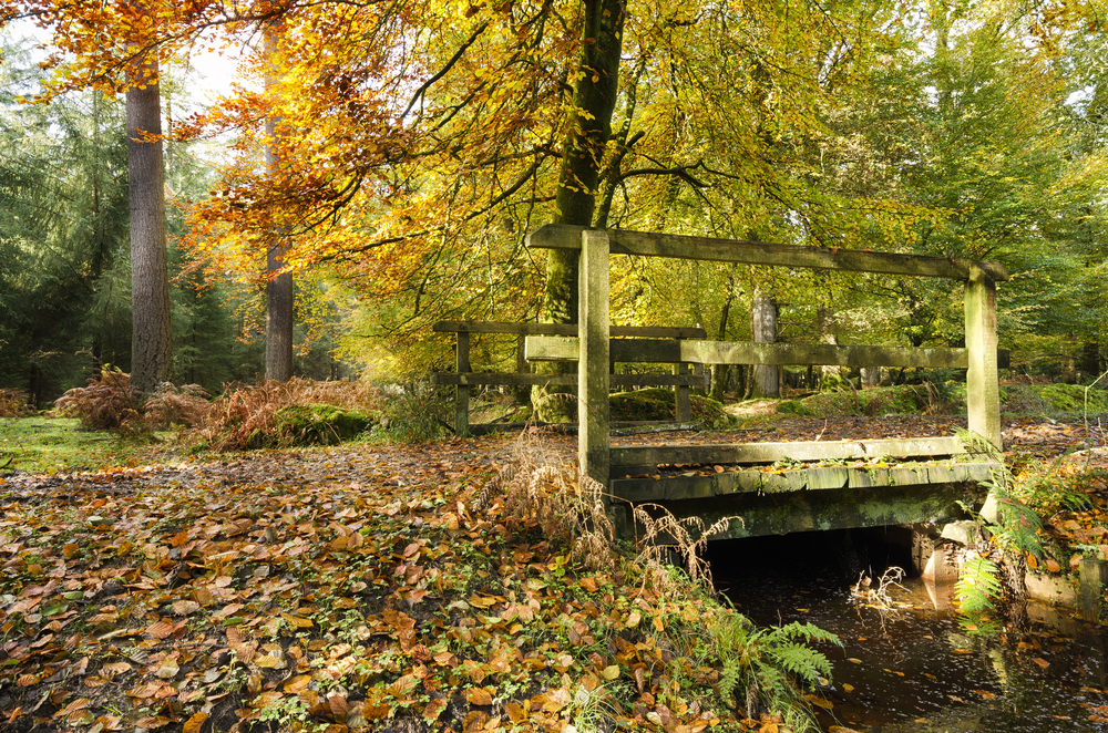
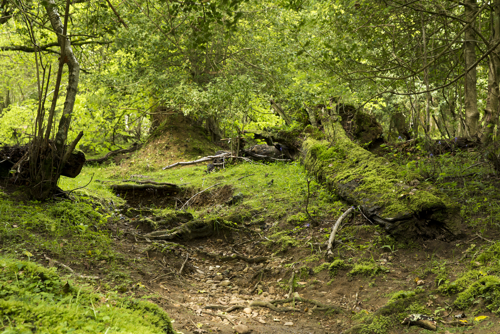
This protected lowland habitat features alder carr, bogs, wet and dry heaths, marsh, and woodlands.  It is such a diverse ecosystem and great habitats for the variety of deer that roam the fields and forests.

Avon Water, Beaulieu River, and Lymington River are three rivers flowing to the south with Dockens Water, Latchmore Brook, and Linford Brook flowing to the west.  The area is not mountainous but there are terrain elevation changes with the highest point occurring at Pipers Wait at 423 feet (129 m) above sea level.

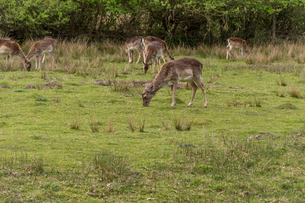
Popular wildlife is attributed mostly to the deer which includes Fallow deer, roe deer, red deer, sika deer, and muntjac.  Other common species include the grey squirrel, European polecat, European otter, and the American mink.

Things to See

New Forest National Park provides visitors with the densest and most continual forested area in southern England.  Hiking is the best way to experience what the park has to offer.  The stellar wilderness is the highlight of the park with wide-open skies and tremendous panoramic views.

New Forest National Park Trails

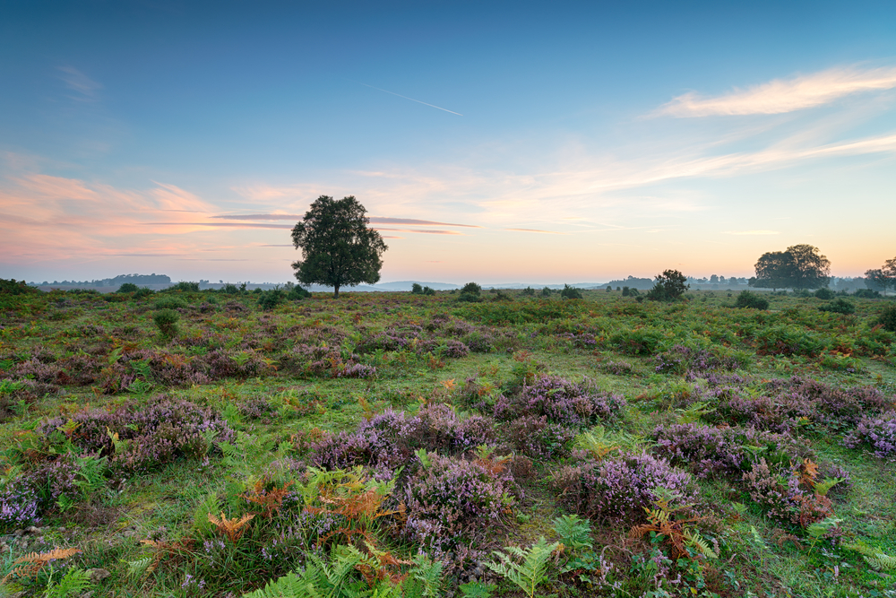
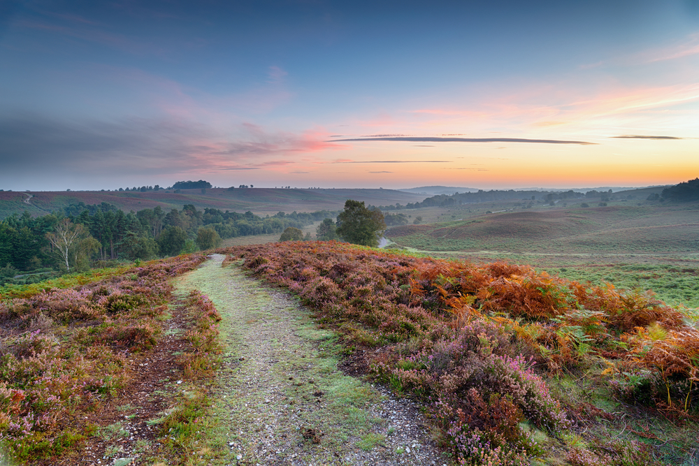
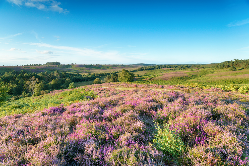
New Forest National Park provides hikers with forested trails as well as broad open fields and hills with panoramic views of the terrain.

placeholder

Abbots Well and Fritham

This is a full-day outing covering a distance of 9 miles (14.5 km).  It is an easy walk that spends most of the time in the high heathland with large panoramic views.  The loop trail starts at Abbots Well and then treks up to Hampton Ridge.

placeholder

Bolton’s Bench and Lyndhurst

This is a 7-mile (11.2 km) easy to moderate that travels along the edge of Lyndhurst.  Highlights include Matley Wood, Beaulieu River, Busketts and Furzy Lawn Enclosures, Yew Tree Hill, and more.

placeholder

Millyford Bridge

This is an easy 2.5-mile (4 km) that meanders through a forested area that features over-hanging boughs mixed in with oaks and conifers.  Woodson Hills Enclosure is a highlight.

placeholder

Wilverley Enclosure

This 2.5-mile (4 km) trail varies between easy and moderate hike that meanders through old plantations and along with conifer lined trails.

placeholder

Beaulieu Heath and Hatchet Pond

This 2.5 mile (4 km) trail is an easy trail with Hatchet Pond serving as the highlight.

placeholder

Tall Trees Trail

Rating: Easy

Distance and Elevation Gain: 1.5 miles (2.4 km) loop, minimal elevation gain

Description: The Tall Trees Trail is a peaceful walk through the Rhinefield Ornamental Drive.

Hikers can marvel at some of the tallest and oldest trees in the New Forest, including majestic Douglas firs and redwoods.

The trail is flat and well-maintained, suitable for families and accessible to wheelchairs and strollers.

placeholder

Lyndhurst Parish Walk

Rating: Easy

Distance and Elevation Gain: 8.5 miles (13.7 km), minimal elevation gain

Description: This loop trail takes you around Lyndhurst, known as the ‘Capital of the New Forest.’ The route offers a mixture of woodland, heathland, and parkland, with plenty of opportunities to spot wild ponies, deer, and other wildlife.

It’s a great way to experience the variety of landscapes the New Forest has to offer.

placeholder

Burley Village Circular Walk

Rating: Moderate

Distance and Elevation Gain: 6 miles (9.7 km) loop, minimal elevation gain

Description: Starting from the quaint village of Burley, this circular trail explores the ancient woodlands and open heaths near the village.

It’s popular for its stunning landscapes, wildlife, and a chance to delve into the area’s witchcraft history.

The path includes some gentle inclines and is well-marked.

placeholder

Brockenhurst to Rhinefield Walk

Rating: Easy to Moderate

Distance and Elevation Gain: 4.5 miles (7.2 km) one way, minimal elevation gain

Description: This pleasant walk connects Brockenhurst, one of the largest villages in the New Forest, with the Rhinefield Ornamental Drive.

The route passes through open heaths, dense woodlands, and by the Blackwater Arboretum, offering stunning views and a tranquil atmosphere.

The trail is straightforward, with some undulating sections.

placeholder

Beaulieu to Buckler’s Hard Walk

Rating: Easy

Distance and Elevation Gain: 2 miles (3.2 km) one way, minimal elevation gain

Description: This trail follows the Beaulieu River from the picturesque village of Beaulieu down to the historic shipbuilding hamlet of Buckler’s Hard.

Along the way, walkers can enjoy serene views over the river, spot a variety of birds, and explore the maritime history of the area.

The path is flat and suitable for walkers of all ages and abilities.

Sources