
About
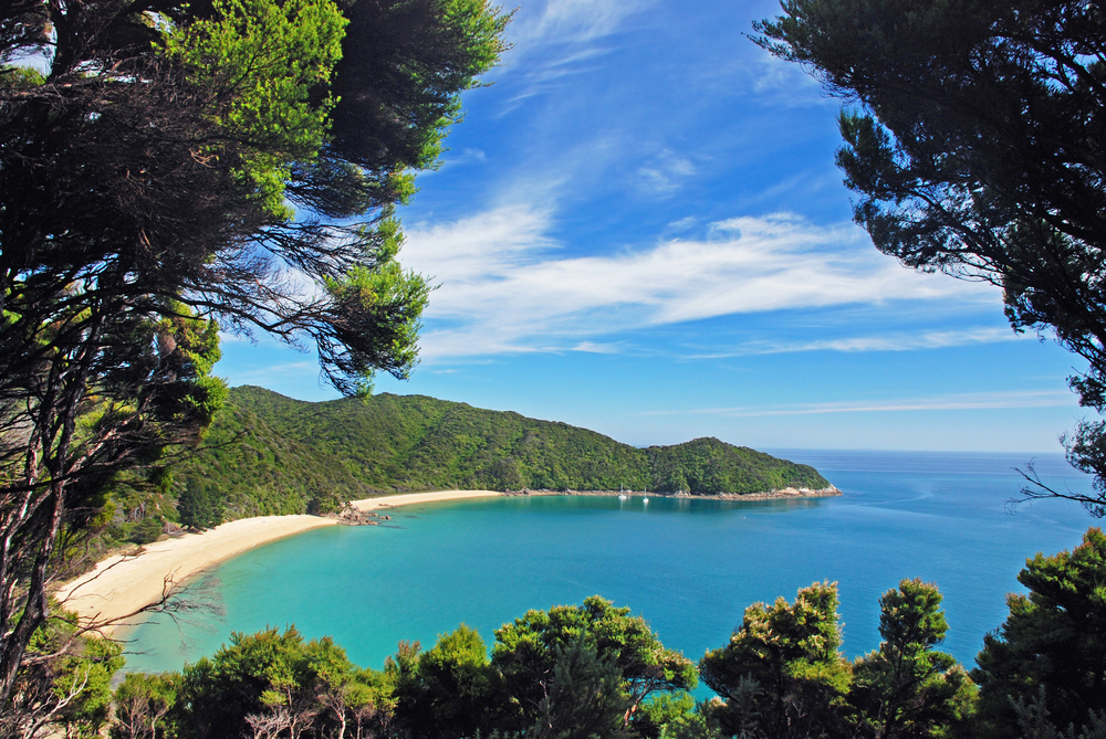
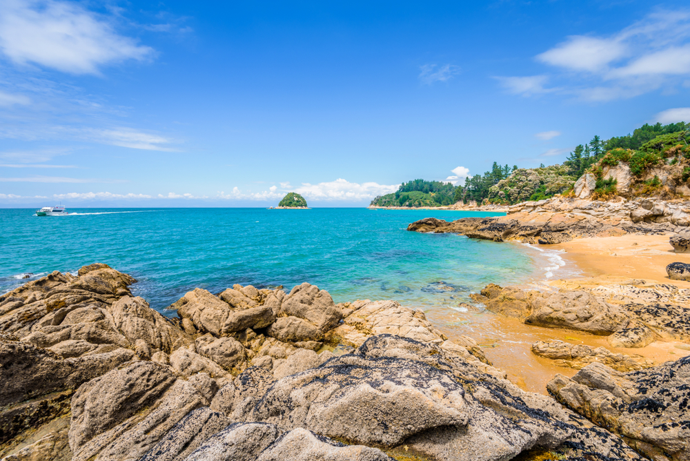
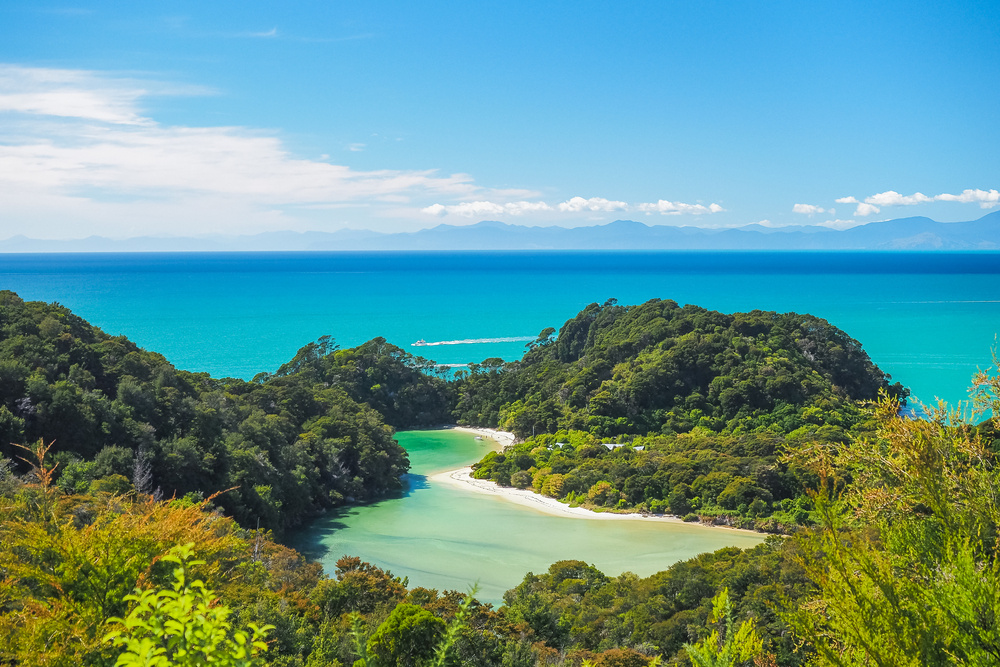
Abel Tasman National Park is located on the northern end of the southern island of New Zealand and includes some of the islands off the mainland. The park lies between Golden Bay and Tasman Bay. The national park boundaries encompass an area of 91.5 square miles (237.1 sq km) making it the smallest national park within the country of New Zealand.
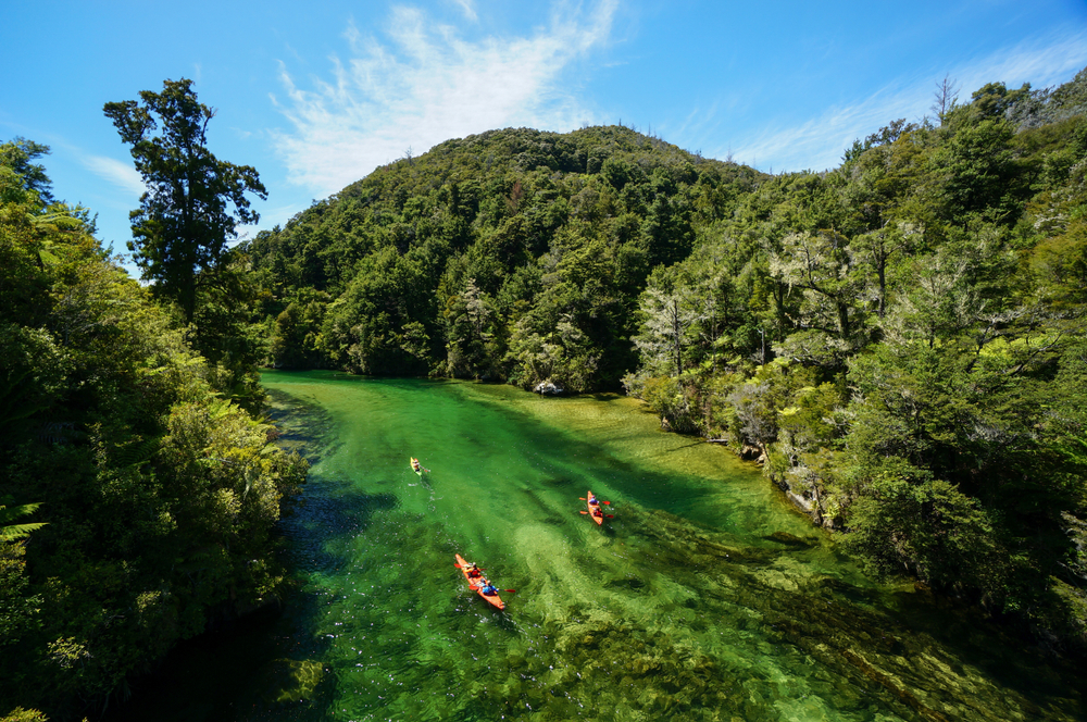
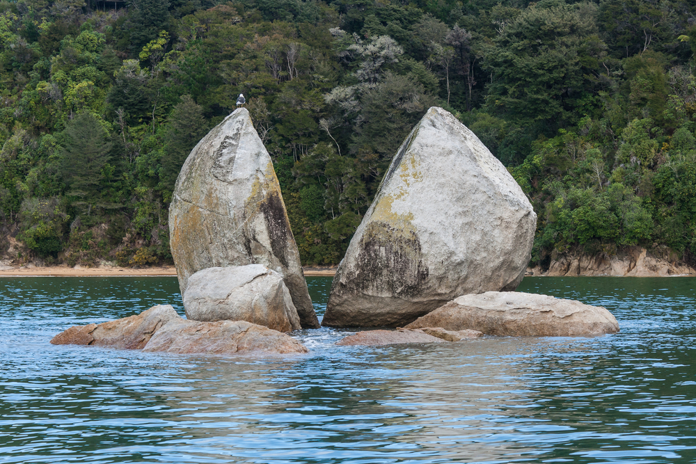
Tata Island, Tonga Island, Adele Island and Fisherman Island are all within the boundaries of the Abel Tasman protected area. The Riwaka and Takaka rivers flow north into the bays and create a valley which is surrounded by forested hills. The forested hills are beautiful and added to the scenery.
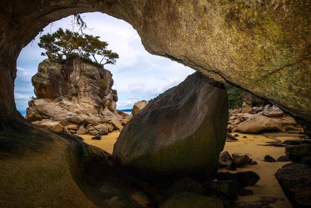
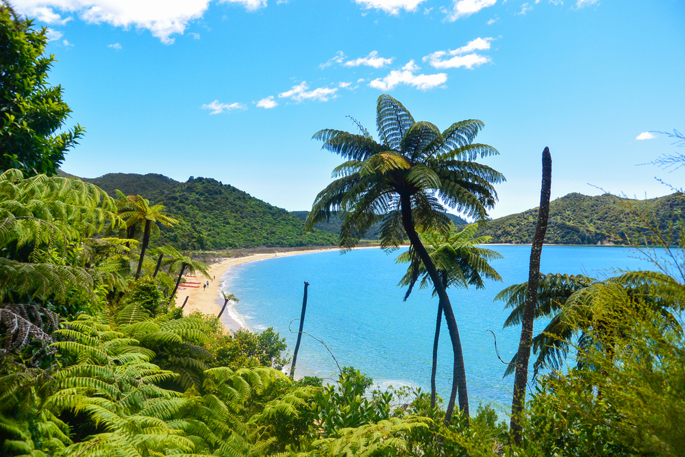
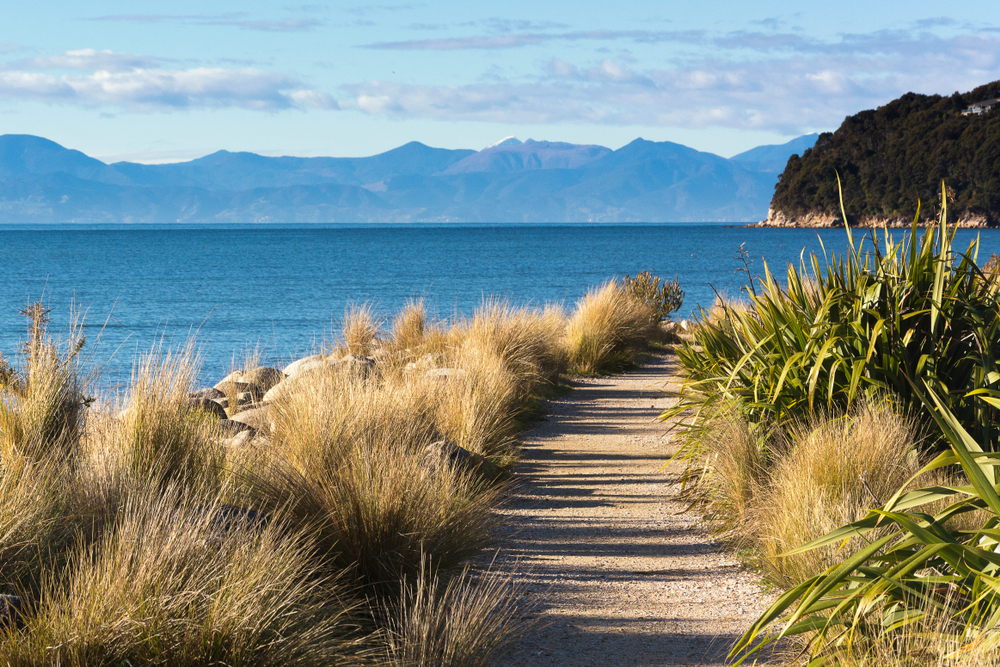
The beaches along the coastline of the national park are renowned for picturesque scenery. They make for a nice place to relax, play, or hike along the shore. Wainui Falls is the tallest waterfall within the park reaching a height of 66 feet (20 m) and treks to it are a popular way to explore the park and see some of the best facets of nature.
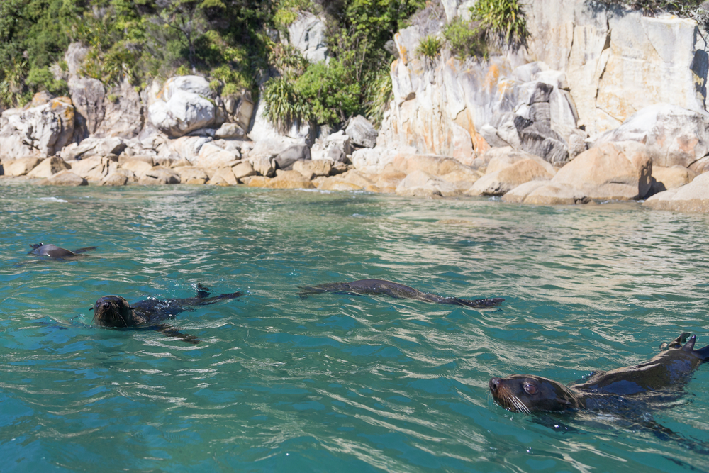
Although not known for its wildlife, penguins, herons, shags, and terns are some of the more prevalent birds in the park. Deer, goats, possum, and wild pigs are some of the animals that may be seen. A wildlife sighting will only add to the exquisite natural experience.
Photos
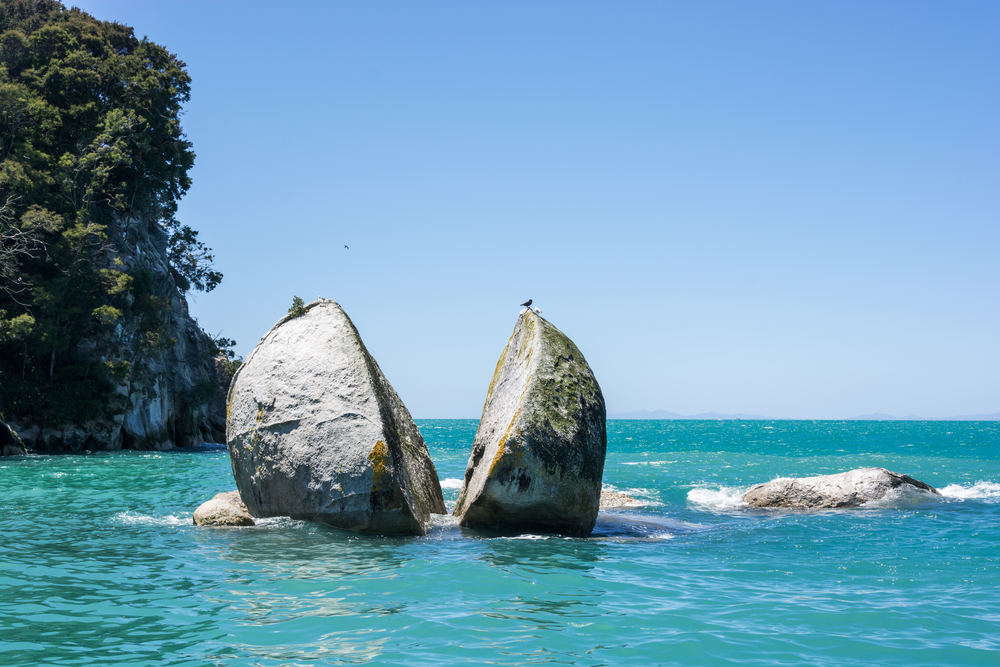
Things to See
Abel Tasman National Park Trails
There are numerous trails ranging from easy to difficult traversing across and throughout the national park. This is one of the best ways to experience all that is available to be explored.

Sources
- 100% Pure New Zealand, Abel Tasman National Park, https://www.newzealand.com/us/feature/national-parks-abel-tasman/, retrieved September 2019.
- All Trails, Best Trails in Abel Tasman National Park, https://www.alltrails.com/parks/new-zealand/nelson-tasman/abel-tasman-national-park, retrieved June 2020.
- Britannica, Abel Tasman National Park, https://www.britannica.com/place/Abel-Tasman-National-Park, retrieved September 2019.
- Department of Conservation, Abel Tasman National Park, https://www.doc.govt.nz/parks-and-recreation/places-to-go/nelson-tasman/places/abel-tasman-national-park/, retrieved September 2019.
- Travel and Leisure, How to Visit Abel Tasman National Park, https://www.travelandleisure.com/trip-ideas/nature-travel/abel-tasman-national-park-new-zealand, retrieved September 2019.
- Wilsons Abel Tasman National Park, Escape Revive Connect, https://www.abeltasman.co.nz/, retrieved September 2019.