
About
Perito Moreno National Park is located in southern Argentina as one of the parks protecting the larger Patagonia area. The national park area covers an area of 489.69 square miles (1,268.30 sq km). It lies in Argentina along the border of Chile.
This is one of the earliest national parks in Argentina and was named in honor of Francisco Moreno who was the renowned explorer of the region. The park is situated at 2,952.8 feet (900 m) above sea level.
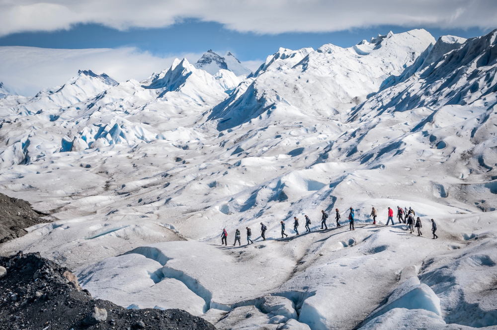
Ironically, the Perito Moreno Glacier is not located here in this national park. It is located in the neighboring Los Glaciares National Park.
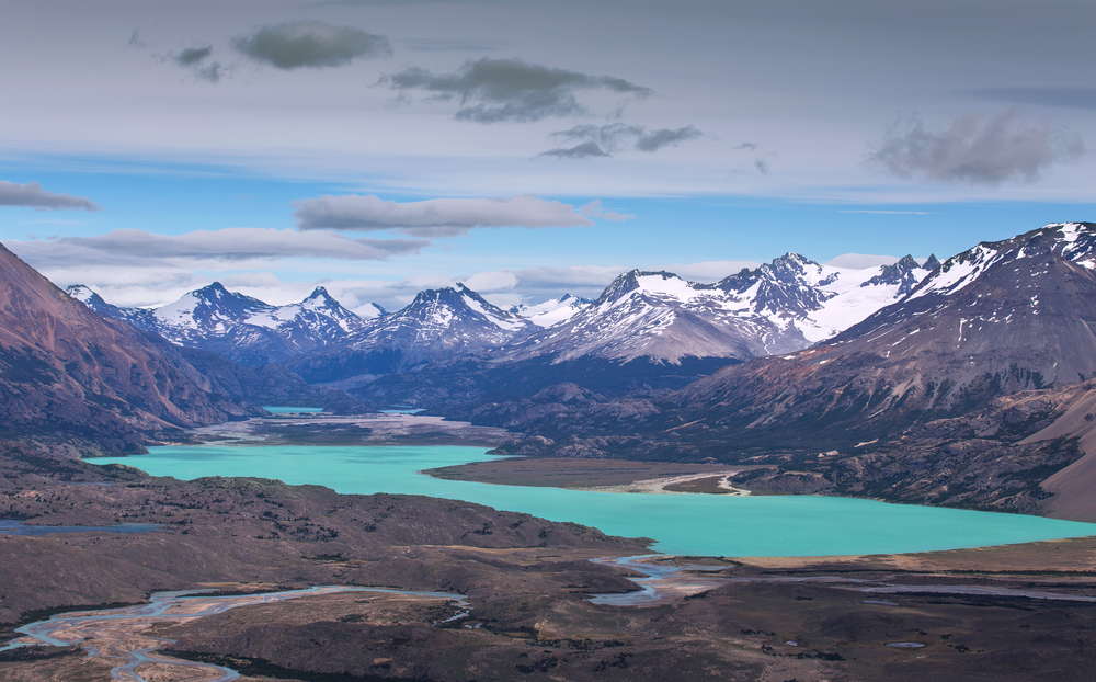
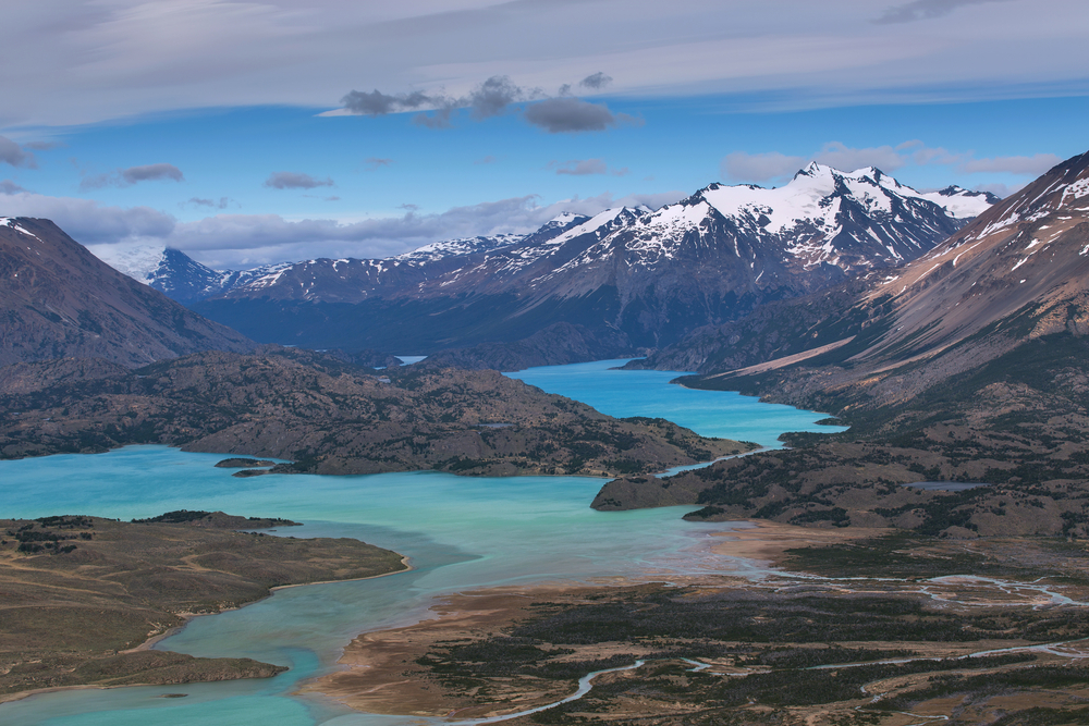
There are two chains of mountains running across the park area. One range running east to west and the other runs north to south. The crossing ranges create a type of amphitheater landscape.
Heros Hill, locally known as cerro Heros, is the tallest summit in the park reaching a height of 9,087.9 feet (2,770 m). Overlooking the park from just outside the park boundaries is the summit of Monte San Lorenzo, locally known as cerro San Lorenzo, which reaches a height of 12,162 feet (3,707 m).
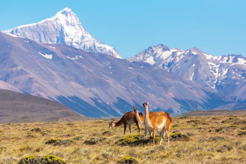
The national park is home to 24 species of mammals. The guanaco is one of the more common which is what attracts the cougars which sees the guanaco as one of its favorite prey. Other animal species include dwarf armadillo, ferret, fox, south Andean deer, and tuco-tuco.
There are around 115 species of birds with falcon and eagle predators being some of the most exciting. Flamingo, Andean goose, and hooded grebe are some of the other bird species.
Photos
Things to See
Perito Moreno National Park Trails
Perito Moreno is not known for campsites nor park development. It is a park that preserves and celebrates the natural wilderness of the area. The majority of people who visit the park are in hopes of more solitude than what occurs in some of the neighboring national parks of the larger Patagonia area. There are no camping sites within the borders of the national park. It is remote wilderness and the only camping is from backpacking in.

Sources
- Britannica, Perito Francis Moreno National Park, https://www.britannica.com/place/Perito-Francisco-P-Moreno-National-Park, retrieved September 2019.
- Lonely Planet, Parque Nacional Perito Moreno, https://www.lonelyplanet.com/argentina/patagonia/parque-nacional-perito-moreno, retrieved September 2019.
- Patagonia, Perito Moreno National Park, https://www.patagonia.com.ar/Gobernador+Gregores/739E_Perito+Moreno+National+Park.html, retrieved September 2019.
- Patagonia-Argentina, Francisco P. Moreno N.P, https://www.patagonia-argentina.com/en/francisco-p-moreno-national-park/, retrieved September 2019.
- Tierras Patagonicas, Perito Moreno National Park, http://www.tierraspatagonicas.com/en/perito-moreno-national-park/, retrieved September 2019.