About

Seorakan National Park is located in the most northeastern corner of South Korea just inland from the coast and Sea of Japan.  The national park encompasses an area of 153.7 square miles (398.22 sq km).

It has the distinction of being declared as the first national park for South Korea in 1970.  It is a popular park for both locals and visitors to the country; it is a great place to escape and enjoy the rugged wilderness.

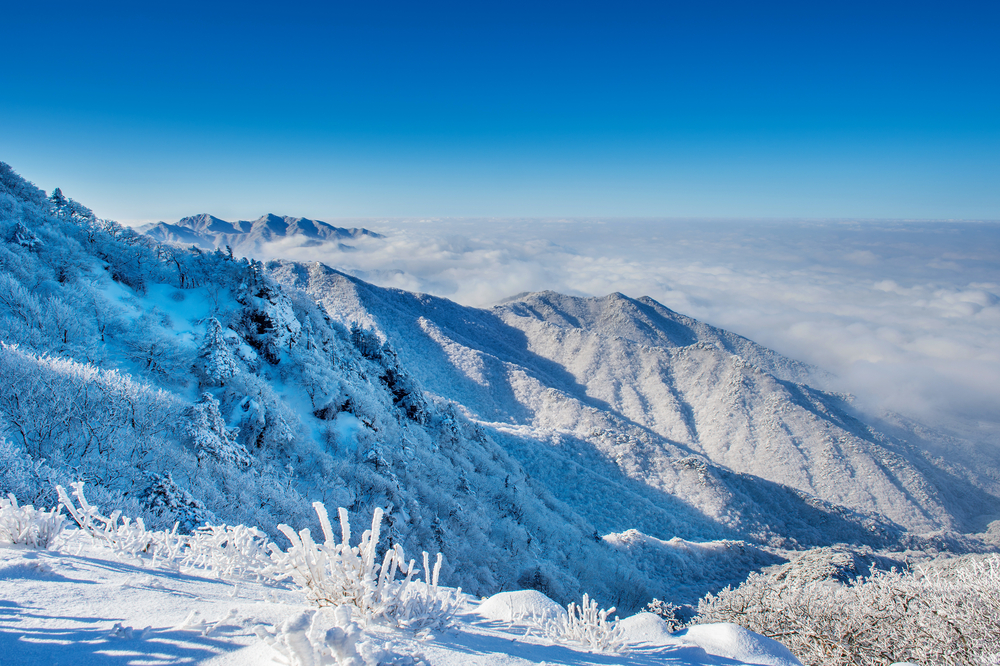
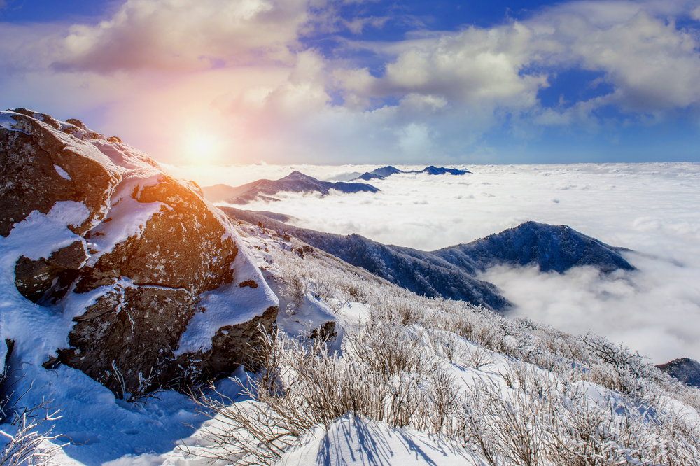
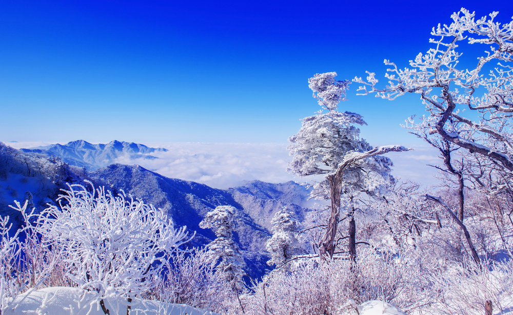
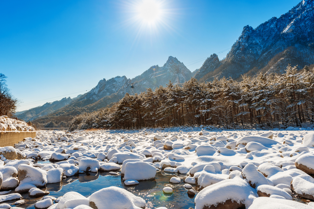
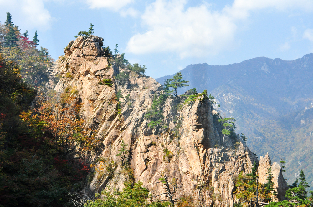
The tallest peak in the park is Daecheongbong with a summit of 5,604 feet (1,708 m).  It is a mountainous region comprised of granite and gneiss with several peaks reaching over 3,937 feet (1,200 m).

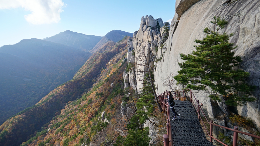
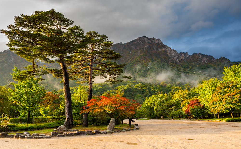
Dinosaur Ridge is one of the most distinct and picturesque mountains within Seorakan boundaries.  It features a jagged ridgeline that looks like the back of a stegosaurus type dinosaur.  The slopes are decorated with various pine and juniper forests.  Other forested areas in the park include deciduous trees such as oaks.

Although there are 1,562 species of wildlife within the park, the majority of these are not mammals.  Some of the popular species include flying squirrel, Korean goral, Korean musk deer, and otters.  There are several species of birds for birdwatchers who want to explore the park

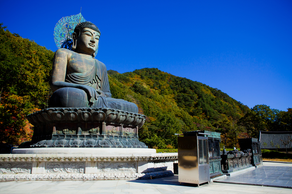
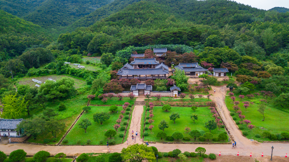
Seorakan also provides visitors with a taste of culture and history, there are two Buddhist temples located within the park. 

Things to See

The rugged granite landscape is a draw to the park with Dinosaur Ridge being one of the landscape highlights.

Seoraksan National Park Trails

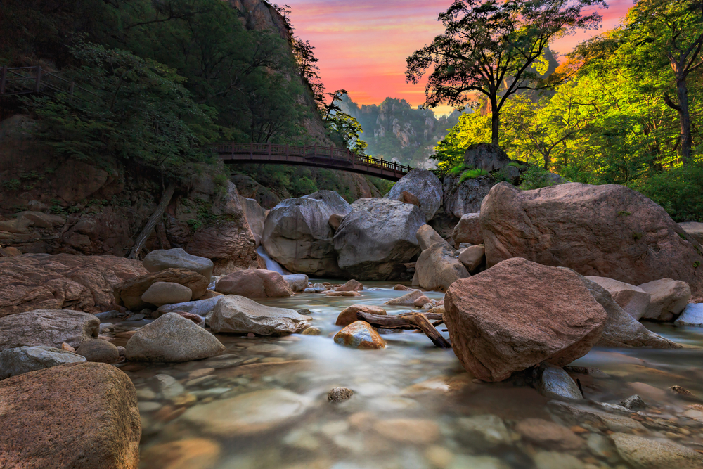
There are several trails that meander around the park providing visitors with access to the granite mountainous landscapes, waterfalls, and historical Buddhist temples.  Trails range from easy to rather difficult with steep elevation changes.

placeholder

Biryong Falls

This is a moderate trail with a slight elevation change of (143 m) while covering a distance of (4.7 km).  The highlight of the trail is the three falls that account for the trail name with plenty of opportunities for bird watching along the way.

placeholder

Mount Seoraksan and Daecheongbong Peak

This is a difficult trek that has steep elevation changes and goes to the summit of Daecheongbong, which is the highest point in the park.

placeholder

Mount Seoraksan and Yongso Valley

This is a moderate level trail that allows you to experience Mount Seoraksan and the surrounding area.

placeholder

Roaring Brook Falls

A moderate level trail with opportunities to take in the forest scenery, birdwatching, and experiencing the rugged wilderness.  Roaring Brook Falls is one of the highlights of the trial.

placeholder

Ulsanbawi Rock Trail

Rating: Difficult

Distance and Elevation Gain: 3.8 kilometers one way, with an elevation gain of about 800 meters.

Description: The Ulsanbawi Rock trail is a challenging hike leading to a dramatic series of rock formations offering panoramic views of the park.

The trail includes steep stairs and metal ladders. Hikers are rewarded with stunning vistas of the East Sea and Seoraksan’s rugged terrain.

It’s particularly popular in autumn when the foliage is spectacular.

placeholder

Biseondae Trail

Rating: Easy to Moderate

Distance and Elevation Gain: 3 kilometers one way, with minimal elevation gain.

Description: This scenic trail follows a river to the Biseondae Rock formation, passing through lush forests and offering views of towering cliffs along the way.

It’s a relatively easy walk suitable for families, ending at a large rock platform where hikers can relax and enjoy the natural beauty of Seoraksan.

The trail is well-maintained and offers numerous photo opportunities.

placeholder

Gwongeumseong Fortress Trail

Rating: Moderate

Distance and Elevation Gain: 1.5 kilometers round trip, with an elevation gain of about 300 meters.

Description: Accessible by cable car or on foot, this trail leads to the ruins of Gwongeumseong Fortress atop a high peak.

The hike offers breathtaking views of the surrounding mountains and valleys, with a relatively short but steep path.

The fortress site provides a historical context to the natural beauty, making it a perfect blend of culture and nature.

placeholder

Daeseung Falls Trail

Rating: Moderate

Distance and Elevation Gain: 7 kilometers round trip, with an elevation gain of about 200 meters.

Description: Leading to the spectacular Daeseung Falls, Korea’s highest waterfall, this trail takes hikers through diverse terrains, including dense forests and rocky paths.

The trail is moderately challenging, with some steep sections, but the sight of the waterfall is a rewarding experience, especially after rainfall when the falls are most powerful.

placeholder

Cheonbuldong Valley Trail

Rating: Moderate to Difficult

Distance and Elevation Gain: Varies, up to 10 kilometers one way, with significant elevation gains depending on the chosen path.

Description: Often considered the backbone of Seoraksan, the Cheonbuldong Valley Trail is a stunning hike through the park’s most picturesque valley.

Hikers can enjoy the diverse landscape, including rugged peaks, deep gorges, and serene streams.

The trail can be challenging, with rocky paths and steep climbs, but it offers some of the most breathtaking scenery in Seoraksan National Park.

Sources