About

Mount Longonot National Park is located in the southwestern region of Kenya.    The national park encompasses an area of 59 square miles (154 sq km).

The national park is only 37.2 miles (60 km) northwest of Nairobi making it easily accessible from the city.  It is southeast from Lake Naivasha.

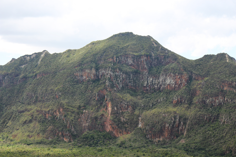
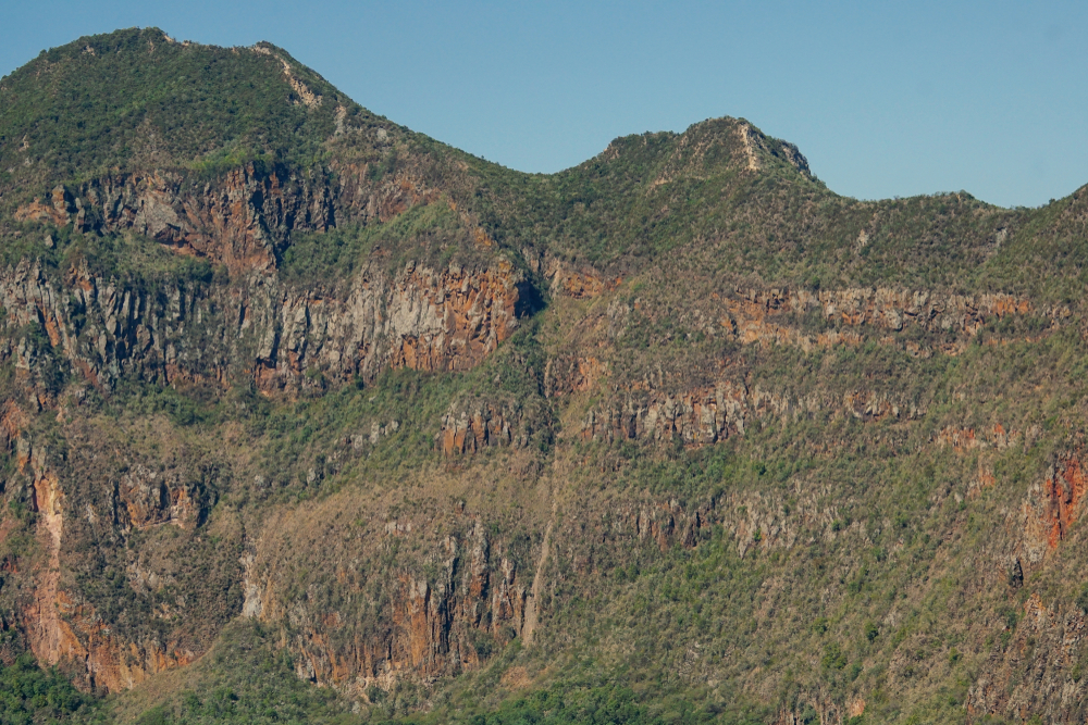
Mount Longonot is a stratovolcano mountain reaching a summit of 9,108 feet (2,776 m).  The name of the mountain and park is derived from a Maasai word which translates to “steep ridges,” or “mountains of many spurs.”

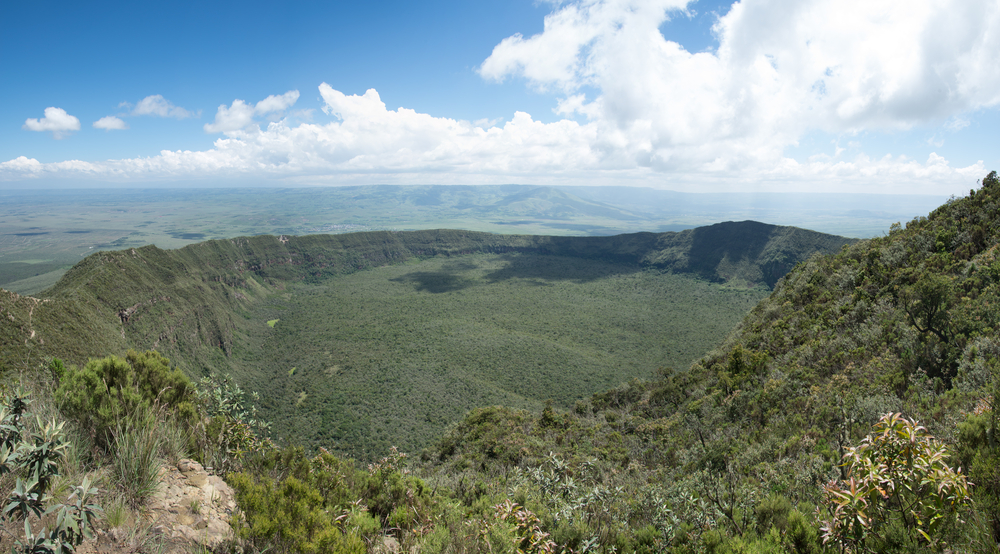
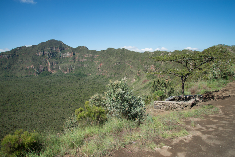
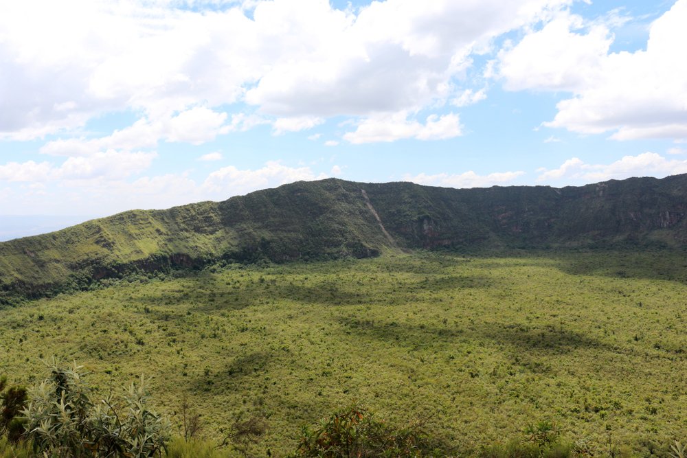
A caldera that measures 5 miles by 7.5 miles (8 x 12 km) is located near the top of the mountain.  The actual cone of the volcano is topped with another crater that measures 1.12 miles (1.8 km) across.

The crater floor is blanketed with small trees and steam vents can be found along some of the walls of the crater as well.

Although not known for wildlife, it is present.  Visitors can hope to see at lower elevations buffalo, giraffe, hartebeest, Thomson’s gazelle, and zebra. 


Things to See

Mount Longonot is the pinnacle attraction of the park.  The primary draw and highlight of the park is the trek to the summit that extends around the crater rim.  It is a great chance to get out and explore nature.


Mount Longonot National Park Trails

Mount Longonot is another Kenya national park that does allow hiking.  Wildlife is present and should be respected.

placeholder

Mount Longonot Summit

There is a 1.9-mile (3.1 km) trek up the mountain to the crater rim.  Hikers can continue trekking around the crater rim along the 4.5-mile (7.2 km) loop.  Hikers should a lot for around 5 hours of time to complete the journey.

The trail is rugged and steep so visitors electing to attempt the summit should be in good physical health.

placeholder

Summit Circuit Trail

Rating: Difficult

Distance and Elevation Gain: 5.3 miles (8.5 km) with an elevation gain of 2,300 feet (700 meters)

Description: The Summit Circuit Trail offers a challenging hike to the summit of Mount Longonot, an extinct volcano in the Great Rift Valley.

Hikers will ascend steep slopes and rocky terrain, passing through dense forests and volcanic craters along the way.

Enjoy panoramic views of the Rift Valley and nearby Lake Naivasha from the summit, making this trail a thrilling adventure for experienced hikers.

placeholder

Crater Rim Trail

Rating: Moderate to Difficult

Distance and Elevation Gain: 4.3 miles (7 km) with an elevation gain of 1,800 feet (550 meters)

Description: The Crater Rim Trail takes hikers on a scenic journey along the rim of Mount Longonot’s crater, offering breathtaking views of the surrounding landscapes.

Trek through rugged terrain and sparse vegetation, encountering unique flora and fauna adapted to the volcanic environment.

Keep an eye out for wildlife such as buffaloes and zebras while enjoying the serene ambiance of the crater rim.

placeholder

Forest Loop Trail

Rating: Easy to Moderate

Distance and Elevation Gain: 3.1 miles (5 km) with minimal elevation gain

Description: The Forest Loop Trail offers a leisurely walk through the lush forests surrounding Mount Longonot, providing opportunities to observe diverse plant and bird species.

Hikers will traverse gentle slopes and shaded pathways, enjoying the tranquil beauty of the forest canopy.

Listen to the sounds of birdsong and rustling leaves while immersing yourself in the peaceful ambiance of the natural surroundings.

placeholder

Western Ridge Trail

Rating: Moderate

Distance and Elevation Gain: 2.5 miles (4 km) with an elevation gain of 1,000 feet (300 meters)

Description: The Western Ridge Trail leads hikers along the western ridge of Mount Longonot, offering stunning views of the Rift Valley and surrounding landscapes.

Trek through open grasslands and rocky outcrops, encountering wildlife such as baboons and antelopes along the way.

Enjoy the cool breeze and panoramic vistas from the ridge’s edge while exploring the diverse ecosystems of Mount Longonot National Park.

placeholder

Gorge Descent Trail

Rating: Difficult

Distance and Elevation Gain: 3.7 miles (6 km) with an elevation gain of 1,600 feet (500 meters)

Description: The Gorge Descent Trail provides a thrilling hike down into the depths of Mount Longonot’s crater, offering a unique perspective of the volcanic landscape.

Hikers will descend steep slopes and rocky pathways, navigating through rugged terrain and ancient lava flows.

Enjoy the dramatic scenery and sense of adventure as you explore the hidden corners of the crater floor, making this trail a memorable experience for adventurous hikers.

Park Protection

Mount Longonot National Park protects the area surrounding one of Kenya’s pristine mountains and wilderness locations.  Although the region is not renowned for wildlife, the ecosystem does provide a home to a variety of species.

Sources